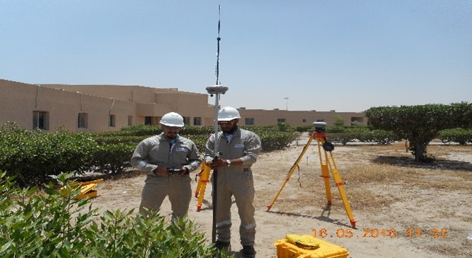
The Survey Department of the Company is staffed by qualified and experienced Field Surveyors using a range of Trimble GPS receivers, Total Stations and Levels, who are complemented by the skilled CAD Cartographers based in the Company offices in South Subahiya. The Company uses Electromagnetic Detectors (EMD) for the location of underground utilities, and is unique in deploying Ground Penetrating Radar (GPR) in Kuwait for the location of deep buried services. The Survey Department also includes specialist Slit Trenching Teams working with the EMD and GPR crews.
The Company has developed the capabilities of the Division to cover a range of Geospatial activities including:
Topographic Surveying
Detection of buried services using EMD and GPR
Engineering Surveying
Cartography
Geographical Information Systems
Geodetic Control for Aerial Surveying
The Earth Sciences Division works in cooperation with other international companies to offer clients:
Bathymetric and Hydrographic Surveying
Aerial Survey using fixed-wing aircraft and UAV’s
Production of mapping from satellite imagery
Remote sensing using LiDAR
3D imagery of heritage buildings of historic interest